September 25th - September 27th
MONPS 2026
Fall Field Trip
MONPS’ fall field trip weekend will take us to diverse sites of botanical interest in the Rolla area: restored and remnant prairie, woodland, glade, sinkhole, and even a small fen. Please join us for any or all of our weekend activities.
Friday Afternoon
September 25th
1:00PM
Triangle Prairie
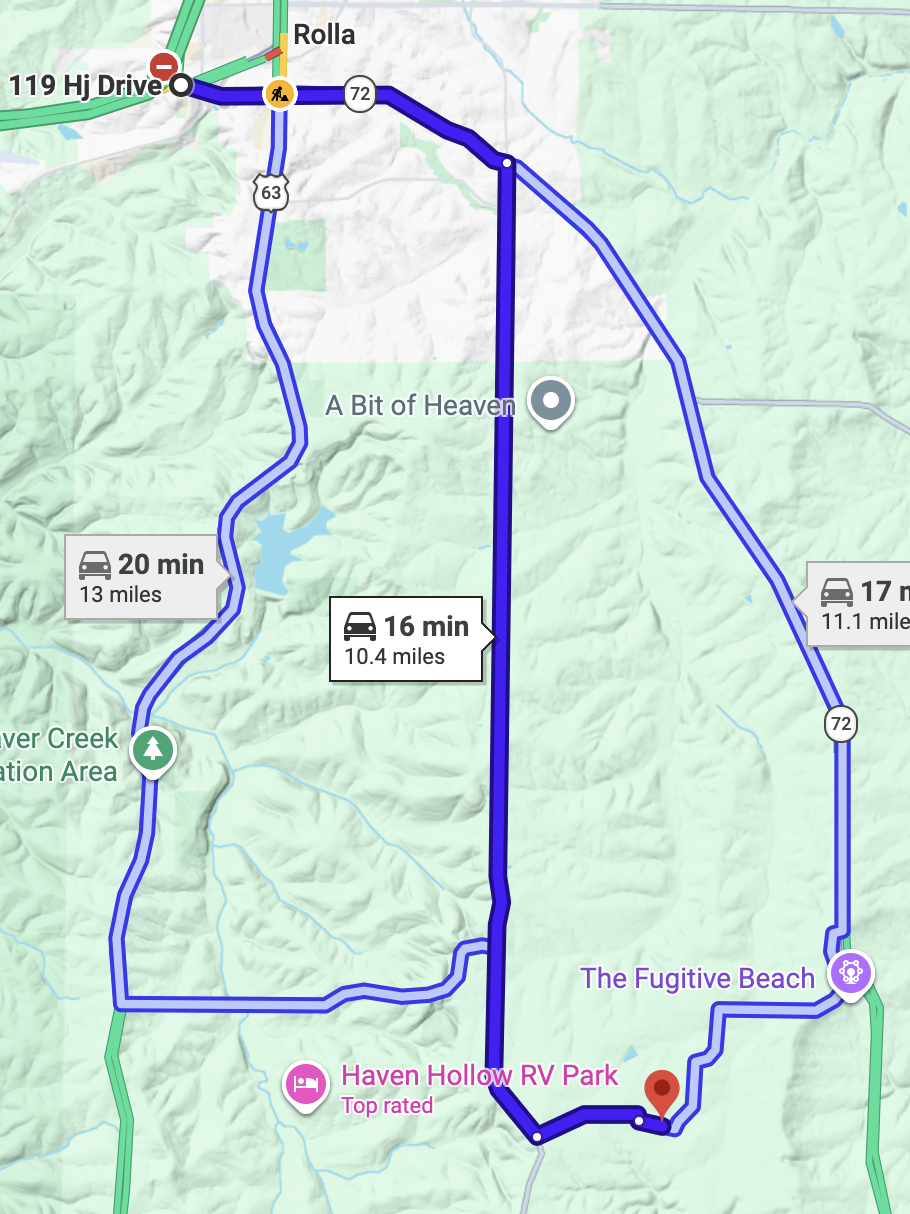
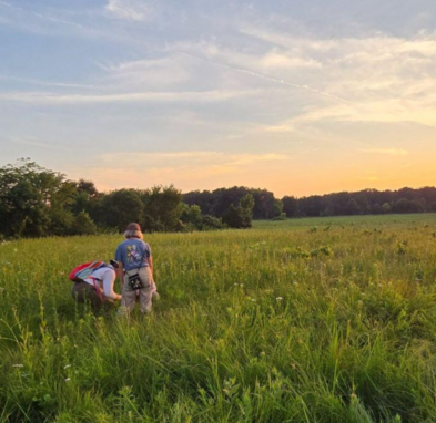
This site, located in the small community of Elk Prairie, a short distance from Rolla, contains a small, remnant Ozark prairie as well as prairie reconstruction undertaken by owner John Cable. Yes, there were prairies in the Ozarks once upon a time, but unplowed tracts like this one are now rare.
Field Trip Leader: Nathan Aaron - 573-202-4290
GPS: 37.920717576673056, -91.828853151793
Friday Evening - September 25th
7:30PM
Friday Night Speaker
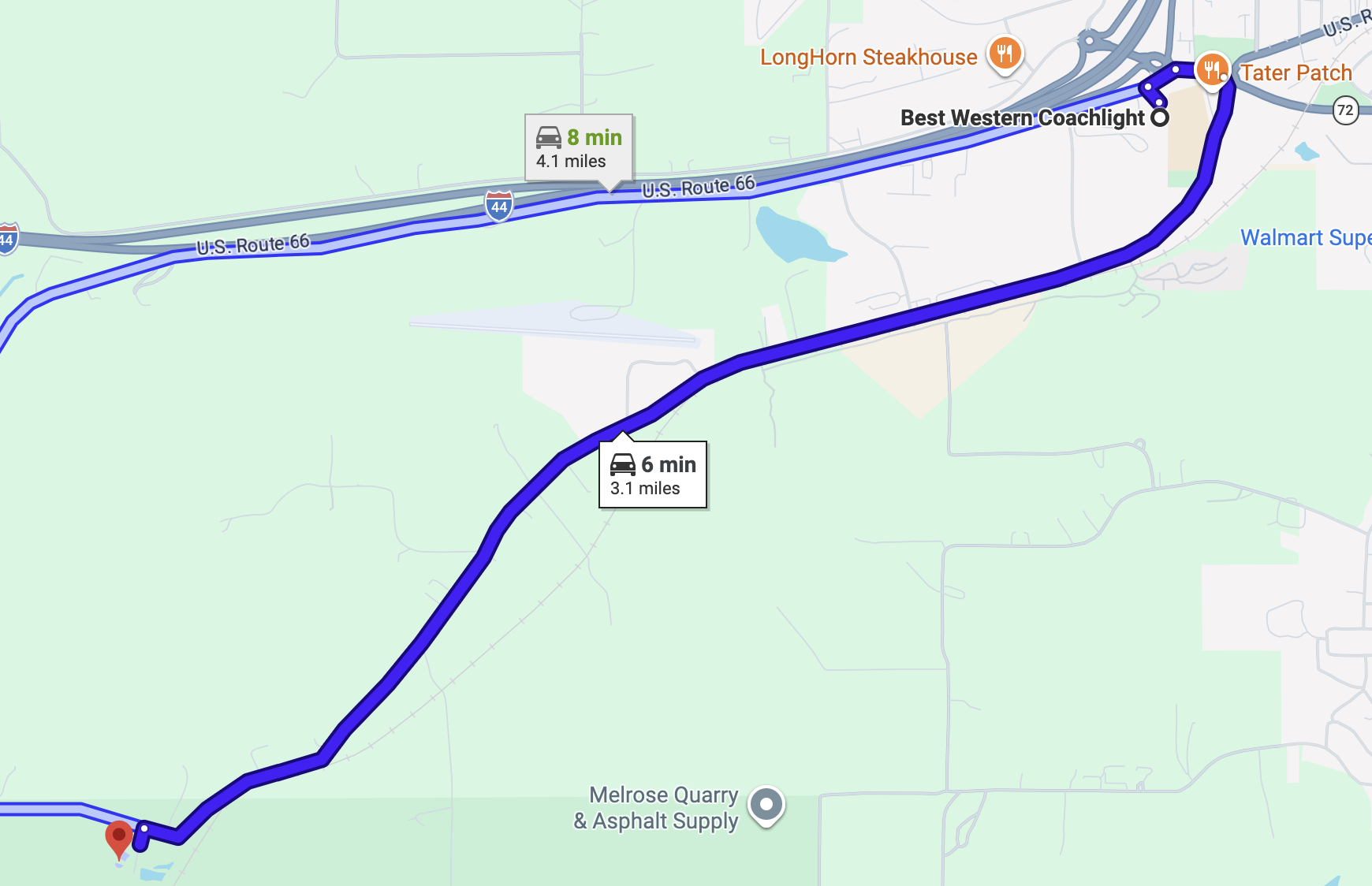
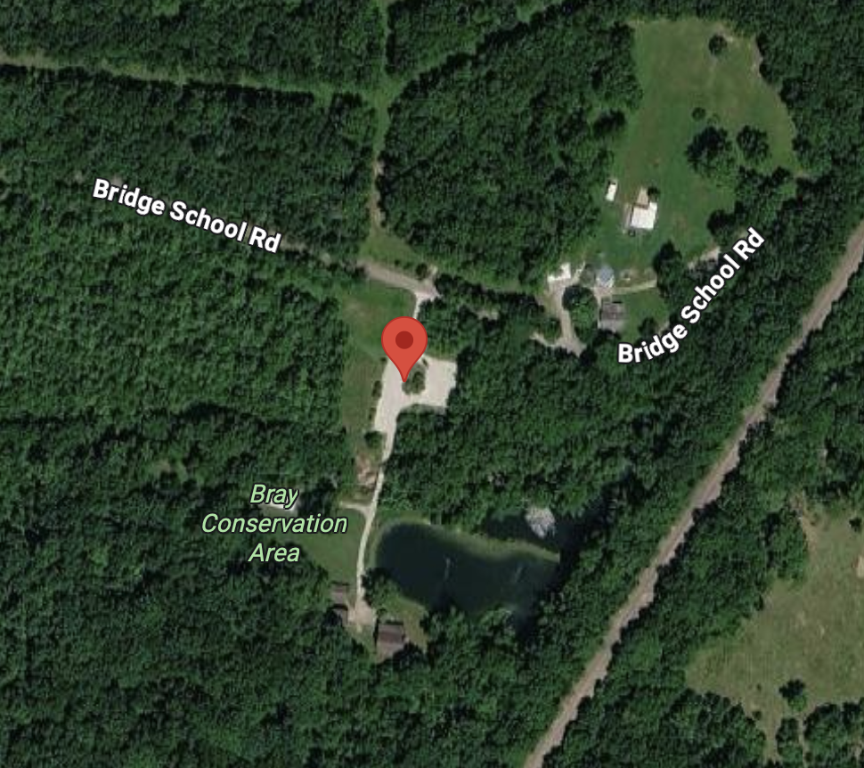
Bray Conservation Area
14220 County Road 7000, Rolla
Rolla , MO 65401
The Flora of Phelps County
Nathan Aaron, field botanist for the Institute of Botanical Training
Saturday Morning
September 26th
9:00AM
King Sink
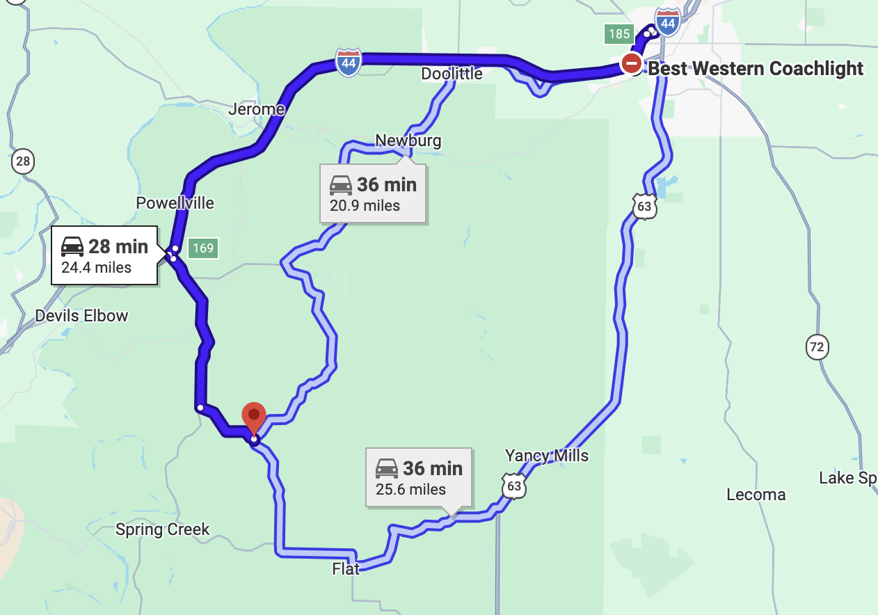
King Sink is a natural sinkhole and karst basin located in Mark Twain National Forest, about 30 minutes west of Rolla. There are no trails here, but the woods surrounding this deep, forested sinkhole are easy to traverse. The bottom of the sinkhole might not be accessible to lesser-abled folks, but the margins around the sinkhole are quite scenic and floristically interesting.
Field Trip Leader: Nathan Aaron - 573-202-4290
Leave Best Western Coachlight Motel at 8:30 AM
12:00 PM - Lunch Break
We’ll drive to our afternoon destination and enjoy a tailgate lunch. The nearest restroom is at the Road Ranger truck stop, just off I-44 at Exit 163 (Hwy 28).
GPS: 37.86492178591559,-91.97359202182844
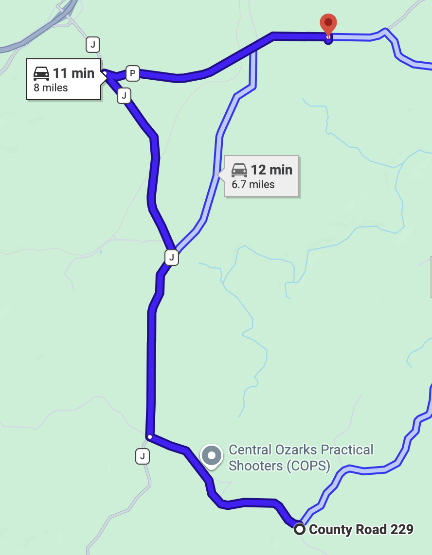
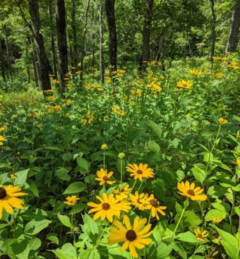
Upland flatwoods such as those found here develop on level ridges with soils developed from loess (silty wind-blown soil deposits) over a residuum weathered from dolomite bedrock. These soils have a fragipan at a depth of 20-30 inches, impeding water movement and root growth. Because of this the trees in the flatwoods are stunted in growth and must be adapted to conditions of saturated soils in spring followed by droughty soils in summer. The interior of this Natural Area contains a mosaic of floristically diverse and interesting communities. We will park along the main entrance road, then hike west through the flatwoods and follow the drainage south. This hike takes us through xeric to dry-mesic chert and dolomite woodlands before arriving at a small fen next to a glade complex. You can trace your steps back out, or hike out the drainage to the east and follow the road back to the cars. Either way, it will be about a two mile hike with no trail. Lesser-abled folk who do not wish to partake in this hike could explore the flatwoods and the sinkhole pond community next to the parking area.
Field Trip Leader: Nathan Aaron - 573-202-4290

Saturday Evening
September 26th
5:30 PM - Dinner (Optional)
Tater Patch
1915 South Limit Avenue
Rolla, Missouri
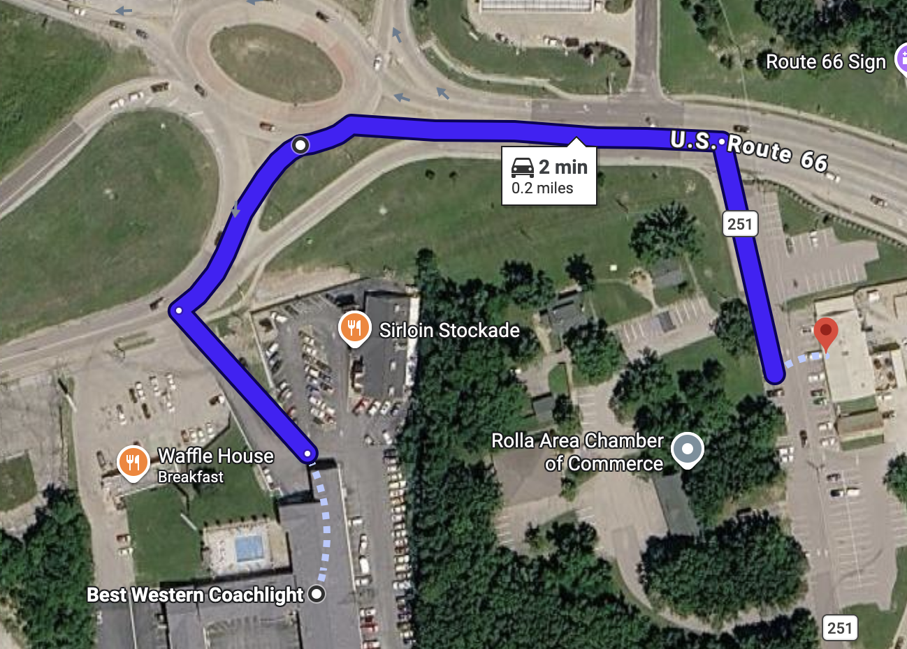
GPS: 37.920717576673056, -91.828853151793
Saturday Evening
September 26th
7:30PM
Board Meeting
Bray Conservation Area
14220 County Road 7000, Rolla
Rolla , MO 65401
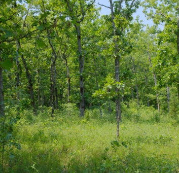
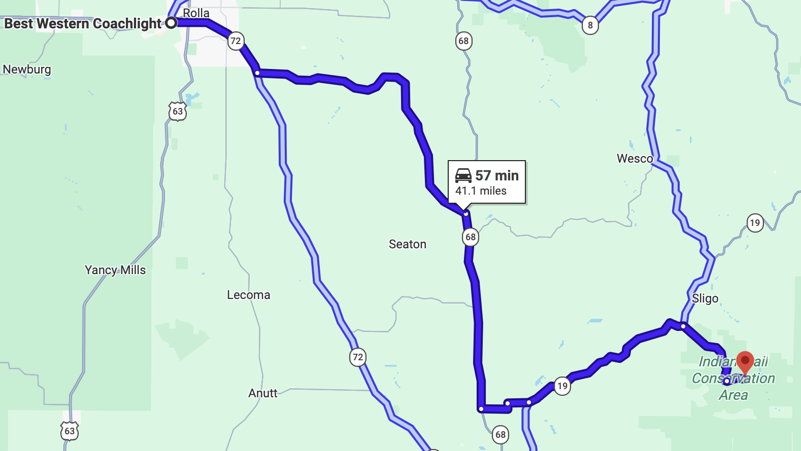
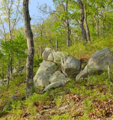
The name “Indian Trail” comes from the history of this area as one of the routes of the Trail of Tears. This area features a mix of high-quality dolomite glade and dry to dry-mesic woodlands on cherty and dolomite derived soils that are characteristic of the Meramec River Hills region. Large dolomite glades on south and west facing slopes are ringed by post and chinkapin oaks some of which are 200 years old. The glades support an array of wildflowers including yellow and red flowering forms of Indian paintbrush, Missouri evening primrose, and silky aster. Also using the glades are the striped bark scorpion and Texas brown tarantula. North facing slopes support cherty dry-mesic forests with white and northern red oak, flowering dogwood, and black cohosh. Rather than strict delineated edges, there is much "feathering" of communities here and a myriad of interesting niches.
Field Trip Leader: Nathan Aaron - 573-202-4290
Note: There are two privies located on the Conservation Area, but not in walking distance of the sites we plan to explore. Please check privy locations on the Area Map above.
Leave Best Western Coachlight Motel at 8:00 AM
Lodging Options
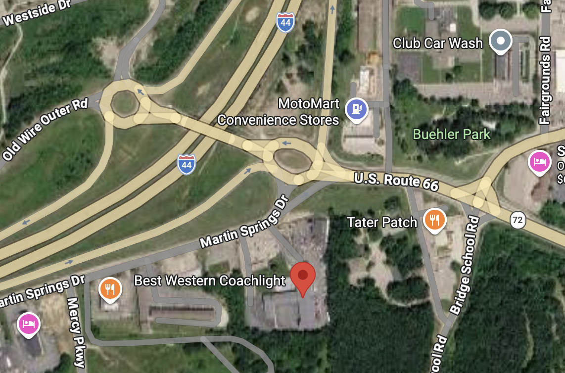
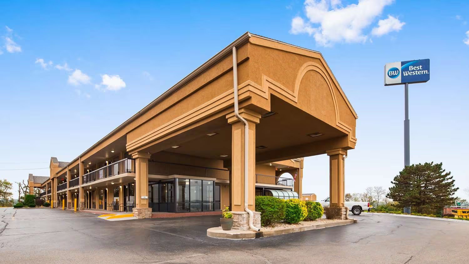
Best Western Coachlight Motel
1403 Martin Springs Dr
Rolla, Missouri 65401
Phone: 573-341-2511
A block of rooms has been reserved at Best Western Coachlight Motel, 1403 Martin Springs Dr, Rolla, Missouri at a price of $94 per night. Call 573-341-2511 to make your reservation and say you’re with Missouri Native Plant Society. Reservations must be made by September 21.